• Our Technology

Rigorous, standardized population data at a global scale

Request a Demo

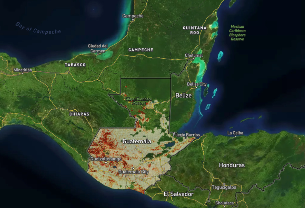
Our ML software transforms household survey data into census-like spatial data across an entire country

What we make

Actionable, localized data about people’s attributes, behaviors, and preferences at a global scale.

Input scientifically-sampled survey data into our powerful machine learning technology, along with hundreds of additional satellite imagery features and remotely sensed datasets.

Our FUSEfraym TM technology produces localized population insight with unmatched scale and efficiency. The output is reliable data for places where data didn’t previously exist.

FUSEfraymTM Software

Data production at an unmatched scale and efficiency.

Harmonizing Disparate Data

We have developed a groundbreaking process to clean and harmonize survey data collected in different ways and formats.

Data Cleaning & Standardization

Proprietary Software

Our mapping engine is agile, automated, and built for scale.

FUSEFraymtm

Validation

Each of our outputs is tested against rigorous analytical standards and is checked by humans for high confidence.

Validation

We Have Informed over $40 Billion In Programmatic and Operational Missions

Climate & Agriculture

Global Health

Inequality & Gender

Fraym Partners with SEforAll to Support Energy Access in Nigeria

Fraym worked with SEforALL under its Universal Integrated Energy Planning programme to develop a best-in-class IEP tool for the Nigerian government.

READ THE CASE STUDY

Three Ways Geospatial Data Can Help Pakistan During COVID-19

The World Bank collaborated with Fraym on a mapping exercise in Pakistan to identify potential COVID-19 hotspots and facilitate local responses.

READ THE CASE STUDY

Identifying Employment Opportunities for Women and Youth

Fraym and CRS partnered to bring spatial data to the country’s youth programming across El Salvador.

READ THE CASE STUDY

How Fraym Data is Breaking New Ground

“Fraym‘s data science is truly innovative. The company is building methodologies that produce data that are consistent and comparable at scales and speeds that are at the cutting edge of geospatial analysis. Seeing these advancements born out of a desire to make an impact and provide information where it was non-existent is inspiring.”

Ryan Engstrom, Ph.D.
Associate Professor, Director of Data Science
George Washington University

“Fraym data enables our AI-driven platform by providing precise information that isn’t available elsewhere. The data they deliver gives our product an advantage in a complicated marketplace.”

Madeleine Gleave
Chief Data Scientist, Nithio

Make Decisions With Confidence

Request A Demo