Case Studies
Build Effective Social and Behavior Change Strategies
")
Read More

Population dynamics can shift dramatically from neighborhood to neighborhood or from village to village. What we need to know is, where might these differences create flash points of insecurity?
Until very recently, it was nearly impossible to access hyper-local human geography data for most African countries. Now, with the availability of cloud computing, satellite imagery, and geo-tagged household surveys, Fraym can accurately predict levels of vulnerability at this level of resolution.
Fraym’s data sources are combined to understand patterns of life and trends over time at the 1×1 km2 level. Our human geography data cover things like language, ethnicity, access to public services, sentiment, government installations, and geo-tagged violent events, all of which provide a powerful and clear picture of human activity in a given area.
Moreover, we are able to analyze poverty and vulnerability at an unprecedented level based on characteristics like unemployment, education, gender violence, and ownership of key assets. Below is a map of poverty and vulnerability levels in southeast Mali and northeast Burkina Faso with the most poor and vulnerable communities identified on each side of the border.
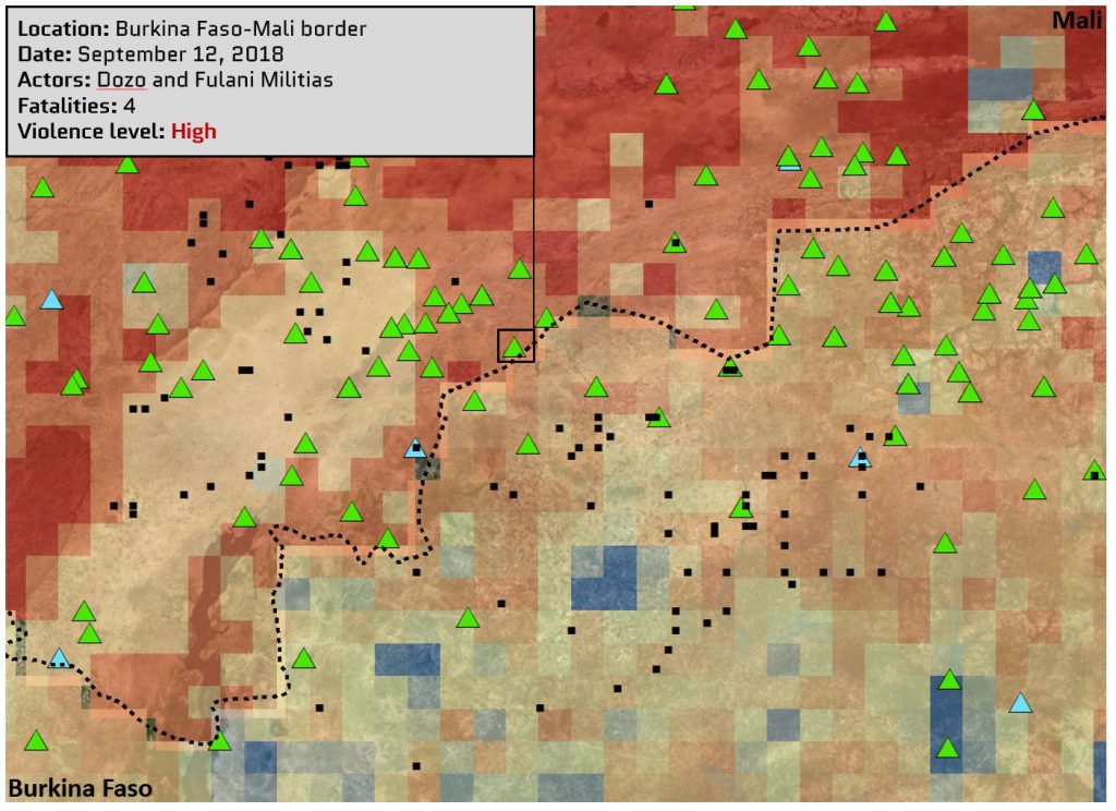
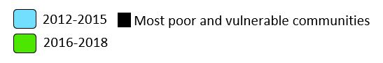
This approach can be further refined by analyzing densities of ethnic settlements and patterns of geo-tagged violence over time. In the past two years, the violent events that have occurred along the shared border between Mali and Burkina Faso have been dominated by clashes between government forces and armed, non-state actors including ISIS and JNIM, as well as battles between the Fulani and Dozo ethnic militias.
While each map is informative on its own, combining them creates a detailed picture of activity in the area. Understanding poor and vulnerable communities allows us to understand the factors that drive violent outbreaks—and to do a better job of predicting where violence will happen next. This type of human geographic context is extremely powerful and allows for a more precise calculus when making mission critical decisions.

